GEOMATICS
Geomatics is a longstanding profession, with the earliest known use of surveying practices dating back to 1400 BC when Egyptians used measuring ropes to gauge the dimensions of land plots. Times and techniques have changed – but whether we’re using the latest LiDAR Applications to map complex infrastructure, or conducting an individual property survey, TULLOCH remains deeply rooted in a timeless commitment to recording the placement of objects in a spatial context as precisely as possible, to create a framework for developments and facilitate collaboration among stakeholders. Our client-oriented services benefit a wide range of markets, such as Transportation (roads, highways, airports, and transit/subway), Energy (renewable, generation, transmission, and distribution), Land Development, Municipal Infrastructure, Buildings (industrial developments: from single-storey warehouses, to 60 level corporate buildings), and Mining. Creating a high accuracy framework at the outset of every project is one of the differentiators into the elevated quality we deliver. Control Surveys, at accuracy and precision required for many projects, is a dying art. Geodetic surveying is considered a science unto itself; and there aren’t many who are proficient at it on a fundamental level. In fact, there is a general dearth of this type of expertise in the industry – but not at TULLOCH. Here, our domain expertise isn’t common. Our team contains a high percentage of the relatively few experts based in Ontario. These specialists exceed expectations for precise surveys – and in many cases we are surveying down to the millimetre.
When we start with an accurate, precise survey framework, we can consistently relate our geospatial information to this framework and distribute vital data to the rest of the professionals involved the project. Geomatics services are important at every stage of a project:
We provide what planners and consultants need from a Geomatics perspective, at the earliest stages of a project. By offering advice on process, schedule, information and solutions, we support the achievement of our clients’ desired outcomes.
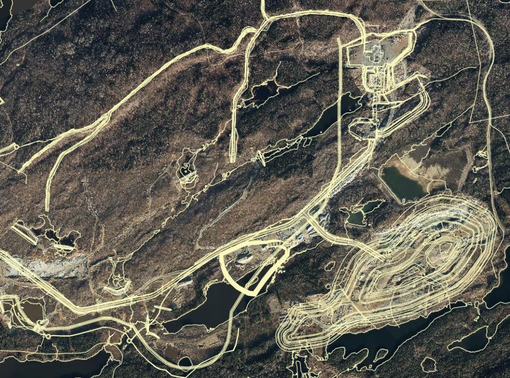
Surveys are some of the initial tasks on a critical project path and inform engineering design. Pre-engineering surveys of existing conditions use various methods, including: aerial mapping, aerial and mobile LiDAR, terrestrial laser scanning, conventional “boots on the ground” topographic surveys, bathymetric surveys, cadastral surveys, and more. We approach each assignment with a deep understanding of project requirements, and we supply the collected and prepared geospatial information.
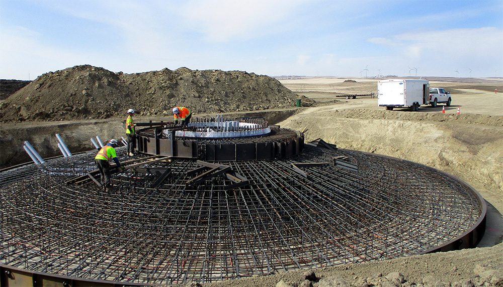
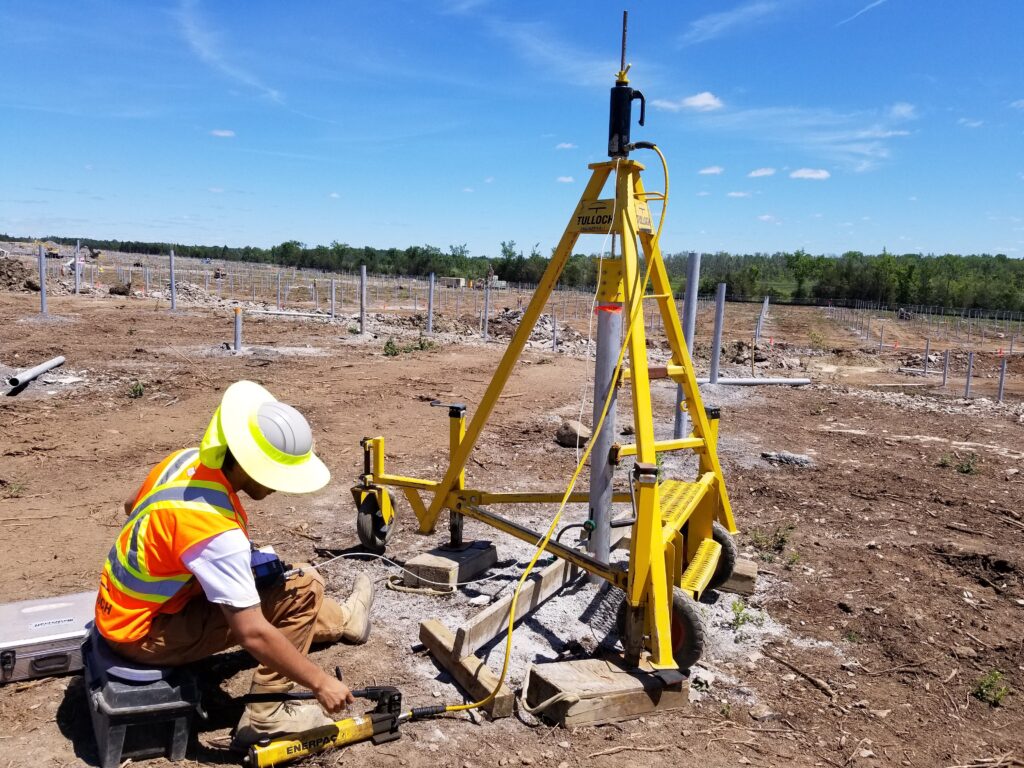
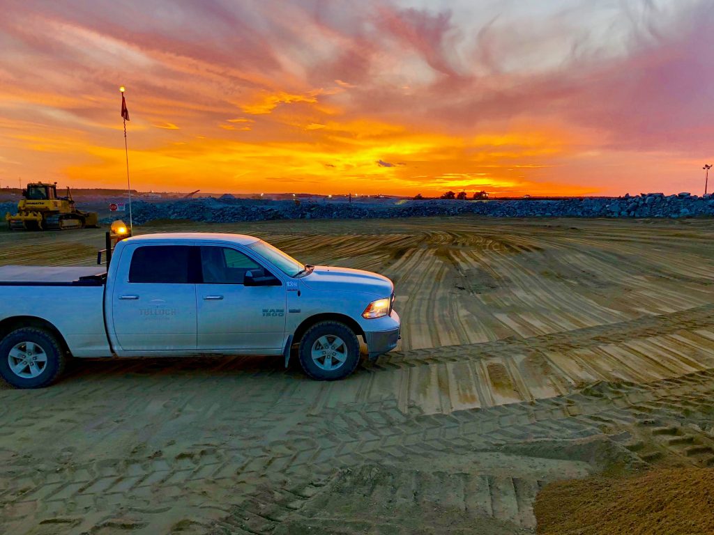
Construction surveys are where the rubber hits the road. From highways to windfarms to pipelines, we help clients by demarcating the location of the infrastructure being built, and verifying its position on the ground. By using GPS total station technology and aerial vehicles, we support construction projects by supplying site plans, surface models, quantity calculations and construction progress reports; but we don’t stop there. We take it a step further by providing our clients an online GIS portal, which is a critical project management tool and fosters collaboration among project stakeholders.
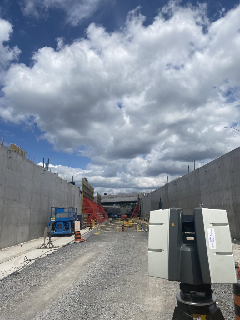
We don’t step back. We serve clients right to the end of a construction project, to ensure quality from start to finish. Our team will perform check surveys and verification reports to confirm the project infrastructure is built according to the design specifications and drawings.
In Canada, land surveyors are the only designated professionals qualified to supply professional opinions on the extent of property. From the wilderness of Northern Ontario, where we may re-establish property lines that haven’t been measured since the 1800s, to Downtown Toronto where we might delineate property interests vertically, we ensure that the extent of an ownership is well-defined with meticulous diligence.
At TULLOCH, we don’t just gather information and pass it along. We inform our clients, address the required scope of work, and suggest methodology that serves their best interests from a technical and budget perspective… …and we’re not biased to any particular type of technology. We exist in an industry which has always been subject to technological disruptions. While we keep up with these advancements, we also leverage them to our clients’ benefit by thinking outside of the box. We’re dedicated to listening carefully and approaching each challenge from a business perspective to find solutions that fit. We don’t just “get it done.” We are uncompromising on quality and uncompromising on what we feel is the right thing to do for our clients. This balanced approach of team member care, client service, and profit is achieved by a “people-centric” culture. In every instance, we do what is best for our employees. We give freedom and responsibility, which empowers them to do the best job possible for our clients.
GEOMATICS
Our Commitment to Precision
High Accuracy Framework
Our team contains a high percentage of the relatively few experts based in Ontario.
From Inception, to Decommissioning (and everything between)
Unbiased Consultants. People-Centric Culture.
Geomatics & Mapping Projects
Broad market scope. Integrated team.